
Where do you want to sail?
61 sailing areas and 9,778 stopovers. Pick an area on the map or in the list below.
 Dalmatia 1,158Istria and Kvarner 647Sardinia 572Cyclades 451Ionian Sea 391Sicily 317Corsica 306Costa Blanca and Murcia 260Crete 259French Riviera 257Majorca 248North-East Aegean 228Turkish coast 223Tuscany 219Liguria 206Saronic Gulf 202Halkidiki and Thassos 194Campania 188Costa Brava 183Southern Peloponnese 172Dardanelles and Sea of Marmara 171Sporades 160Minorca 153Cyprus 150Costa del Sol 123Calabria 122Costa Dorada 122Apulia and Salento 119Dodecanese 117Ibiza and Formentera 113Almería 111Provence 111Valencia and Castellón 93Lazio and Pontine Islands 91South Evia and East Attica 87Tunisia 87Algeria 86Lycian coast 72Montenegro 70Gargano and Molise 69Malta 68Northern Adriatic 66Turkish North Aegean 64Languedoc-Roussillon 63Gulf of Corinth 59Aeolian Islands 53Albania 52Lemnos and Agios Efstratios 49Morocco 48Thermaic Gulf 45Marche and Abruzzo 44Karpathos and Kasos 43Eastern Turkish coast 42Rhodes 42Pagasetic and Evian Gulfs 29Argolic Gulf 22
How a voyage is planned
Set up your boat, your base and your dates
Your boat and its polar, your departure port, the days you have, the stops you dream of and your pace.
The forecast, turned into a voyage
Seadromy compares several wind and swell models for every day, spots the gales and puts each night in a shelter suited to that night's wind.
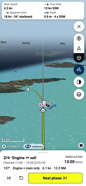
Detailed routing for every leg and a navigation mode to follow the passage plan
Every crossing is routed for your boat: tacks, sail or engine, departure and arrival times. At sea, navigation mode tracks your position against the passage plan.
Best-covered sailing areas
 Dalmatia1158 places© August Dominus, Wikimedia Commons · CC BY-SA 3.0
 Istria and Kvarner647 places© Zoran Kurelić Rabko, Wikimedia Commons · CC BY-SA 3.0
 Sardinia572 places© Marco Busdraghi, Wikimedia Commons · CC BY-SA 4.0
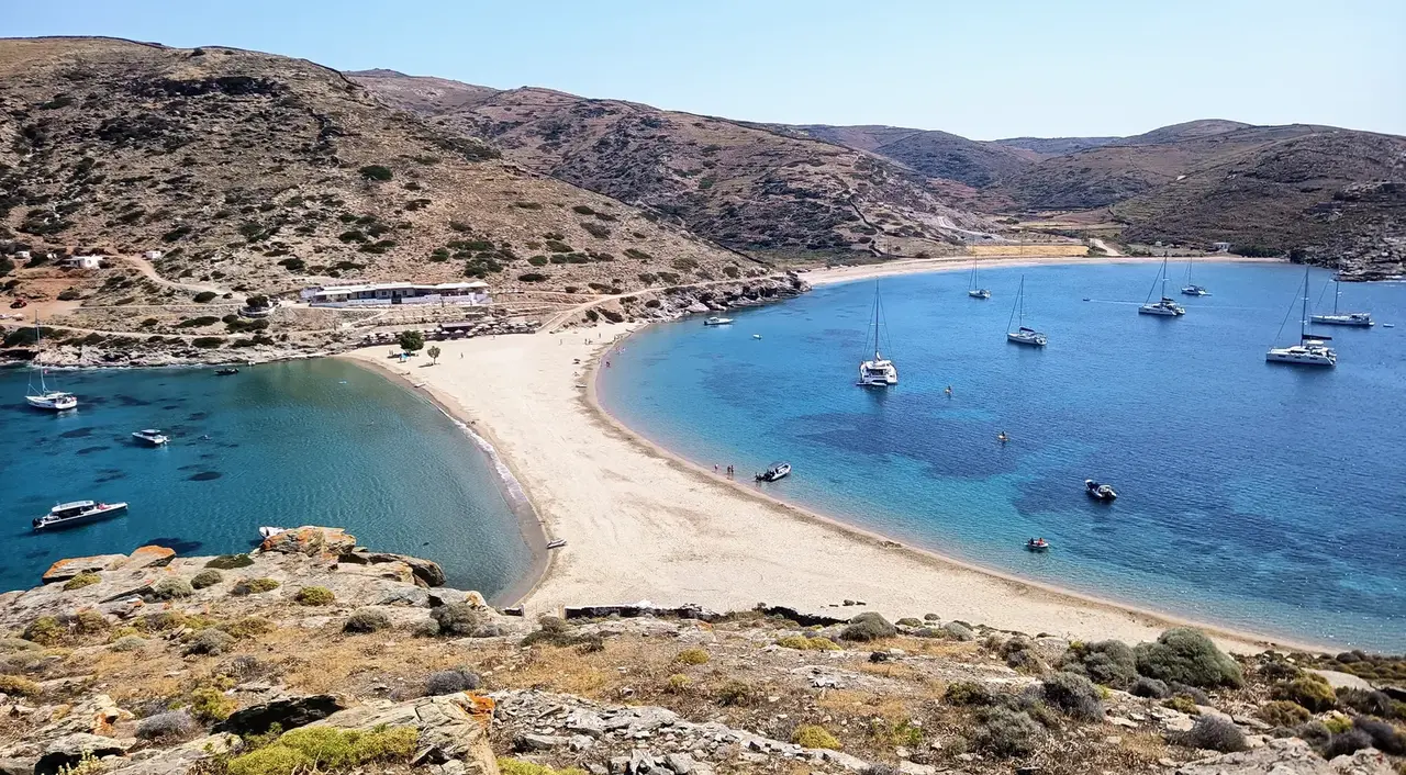
 Cyclades451 places© pastitio, Flickr · CC BY 2.0
 Ionian Sea391 places© Jean Housen, Wikimedia Commons · CC BY-SA 3.0
 Sicily317 places© trolvag, Wikimedia Commons · CC BY-SA 3.0
 Corsica306 places© dronepicr, Wikimedia Commons · CC BY 2.0
 Costa Blanca and Murcia260 places© Mabelcalabuig, Wikimedia Commons · CC BY-SA 4.0
 Crete259 places© Pavel Špindler, Wikimedia Commons · CC BY 3.0
 French Riviera257 places© Espirat, Wikimedia Commons · CC BY-SA 4.0
 Majorca248 places© King Otto, Wikimedia Commons · CC BY-SA 3.0
 North-East Aegean228 places© Pavel Vlček, Wikimedia Commons · CC BY-SA 3.0


Every anchorage, explained
Each place has its own page, built from open data and checked against satellite imagery.
- Shelter for each of the eight wind directions, and where the swell comes in
- Seabed, holding and depth near the anchoring spot
- What is ashore: villages, restaurants, shops, fuel
- The nearest well-sheltered place when the wind turns
All sailing areas, by country
Greece
- Argolic Gulf 22
- Crete 259
- Cyclades 451
- Dodecanese 117
- Gulf of Corinth 59
- Halkidiki and Thassos 194
- Ionian Sea 391
- Karpathos and Kasos 43
- Lemnos and Agios Efstratios 49
- North-East Aegean 228
- Pagasetic and Evian Gulfs 29
- Rhodes 42
- Saronic Gulf 202
- South Evia and East Attica 87
- Southern Peloponnese 172
- Sporades 160
- Thermaic Gulf 45
- Thracian Sea 16
Italy
- Aeolian Islands 53
- Apulia and Salento 119
- Calabria 122
- Campania 188
- Gargano and Molise 69
- Lazio and Pontine Islands 91
- Liguria 206
- Marche and Abruzzo 44
- Northern Adriatic 66
- Sardinia 572
- Sicily 317
- Tuscany 219
- Versilia 15
Croatia
- Dalmatia 1158
- Istria and Kvarner 647
Spain
- Almería 111
- Barcelona coast 18
- Costa Blanca and Murcia 260
- Costa Brava 183
- Costa Dorada 122
- Costa del Sol 123
- Ibiza and Formentera 113
- Majorca 248
- Minorca 153
- Valencia and Castellón 93
France
- Corsica 306
- French Riviera 257
- Languedoc-Roussillon 63
- Provence 111
Türkiye
Cyprus
- Cyprus 150
Tunisia
- Tunisia 87
Algeria
- Algeria 86
Montenegro
- Montenegro 70
Malta
- Malta 68
Albania
- Albania 52
Morocco
- Morocco 48
Egypt
Your next voyage starts with the forecast
Open the app, choose a port and your dates: Seadromy proposes a voyage day by day, with the forecast of the moment.